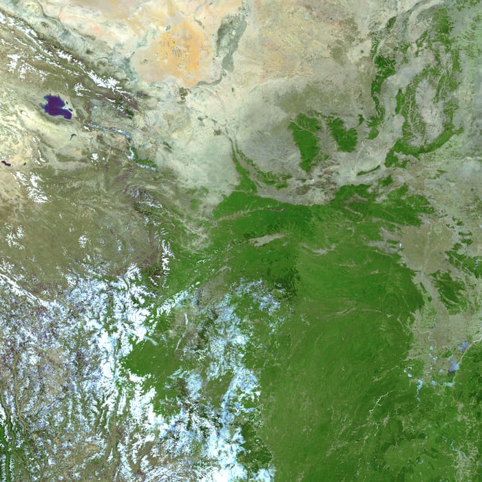
The conservation and management is vital for issues related to wildlife. Before achieving this goal there could be some sort of standard evaluation and procedure which has to be followed. This evaluation is necessary to access and assess the habitat loss, global climate change, pollution, fragmentation, deforestation and extinction. The standard evaluation and procedure is technically achieved by ‘Remote Sensing and GIS’. This two technical approach is very informative and accurate due to its wide range of applications.
Remote sensing technique and GIS (Geographical Information System )mapping helps us to conduct the procedure for data collection and its analysis; the data such as environmental factors ( includes land, soil, and climatic conditions ), faunal movements and floral assemblage in different regions of a particular area. In consideration of two vital aspects i.e. conservation and management this Remote sensing and GIS plays a crucial role though it preferreablly helps us to analyse the habitat loss and fragmentation because it leads to the process of extinction may be man made or by nature made. Therefore to maintain the so called balancing the ecosystem both approach i.e. Remote sensing and GIS is important. Remote sensing is the technique which is applied to obtaining an information about an object, phenomena or area through analysis of data gathered by a remotely located device without direct contact with the object, phenomena or area under study or research. By considering the benifit of GIS, it’s a data analytic algorithms based software ( database) which has the specific use cases i.e. can be used in particular to our convenience model present in GIS for collected data during our study.
The standard evaluation and procedure may followed four simple steps which are ;
1. Data Collection
2. Storing Of Data
3. Data Analysis
4. Data Interpretation
1. Data Collection :
It is the first step in evaluation process in which GPS ( Global Positioning System ) can help us to investigate the field and Landsat imagery, topography maps are employed to generate a thematic layers as per the convenient model present in GIS database. Each GIS software is specific in nature to describe the information about the particular geographical area either suitable for animal or not. GPS also helps in tracking the movement of free ranging animal. The GPS tracking device may also be attached to animals such as birds, reptiles, marine mammals and terrestrial mammals etc.
The data which has to be collected by means of three ways, took the help of remote sensing. First way- GPS-based tracking system which involve a receiver who picks up the signal through several GPS satellite orbiting around the earth. Secondly the data can be remotely received either via a GSM ( Global System for Mobile Communication ) network which transmitted the data to the base station.In the third ways it directly recieved the data via a portable receiver called hand-held receiver.
2. Storing Of Data :
The collected data is being stored in central data store or in internet-connected computer using an embedded cellular (GPRS), radio, or satellite modem for plotting the animal’s location against a map in real time or when analysing the track later, using a GIS package or custom software. Generally the positioning data is stored by the GPS-based device untill the data are retrieved (reinvestigate) by either recapturing the animal, device wearing on the collar of the animal or downloading remotely the GPS data. ( Source – A Nirupama, B Jatisankar, Remote sensing and GIS for Wildlife Management, www.researchgate.net )
3. Analysis of Data :
In this process the stored data can be analysed in real time with the help of data analysis tools, here movement and behavioral analysis is important, which analyse the spatial behavior and movement of animals across a landscape. Positional analysis which keeps track of location of animals in relation to dynamic feature (livestock) and stationary geographical feature (roads and fences). ( Source – A Nirupama, B Jatisankar, Remote sensing and GIS for Wildlife Management, www. researchgate.net )
4. Data Interpretation :
It is the final part of evaluation process, where the researcher and manager easily acknowledge and interpret the accurate location and movement pattern of animals and movement rates with thier activity. Some software which are employed with algorithms specifically to analyse the real time data and gives an output of situation which may be dangerous for the animals, therfore the wildlife managers respond rapidly and proactively to evolving situations by interpreting the real-time input.

